July 19, 2026
July 11, 2026
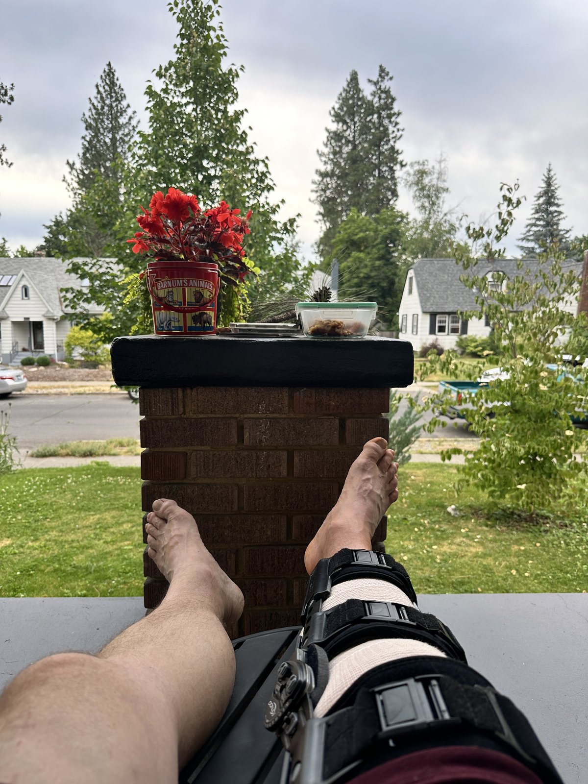
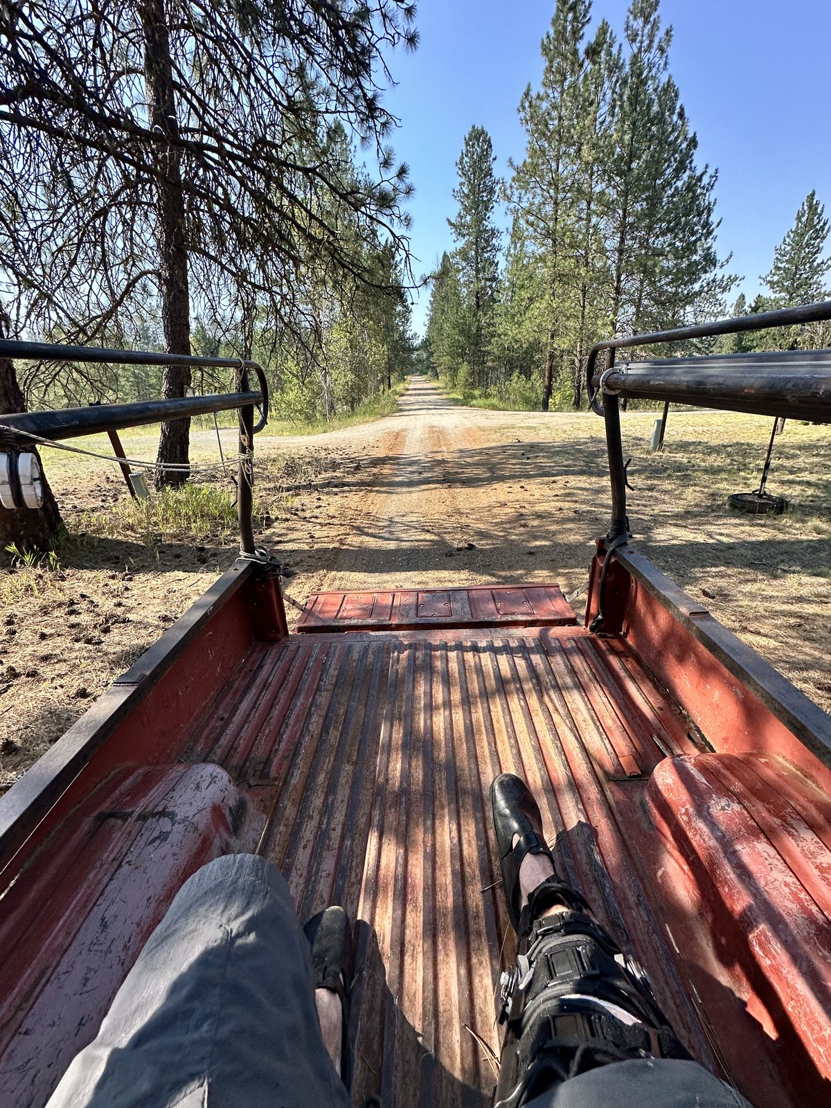
I missed a tall step and broke my kneecap in half. No bikes for me!
July 10, 2026
Despite the fake news reported earlier on this site, Upper Taylor Ridge is not open. It is clear about 2.5 miles up the trail from the Upper Taylor trailhead.
This sudden wall of deadfall near the old Big Lick Trail intersection (see Dispatch 3.2) is not passable.
There are reasons for this. The forthcoming Dispatch covers them.
For now, as far as we know, it’s still buried. As well, the north section of KCT from Taylor to Boulder has a number of fresh deadfall from a windstorm a couple weeks ago – after being cleared earlier this year.
For some reason, this reminds me of poem my dad loved to recite to me:
Dear Dad,
No mon, no fun, your son.
Dear Son,
Too bad, so sad, your dad.
I have an email out to FS rec ranger asking for Upper Trail status.
That is all.
June 25, 2026
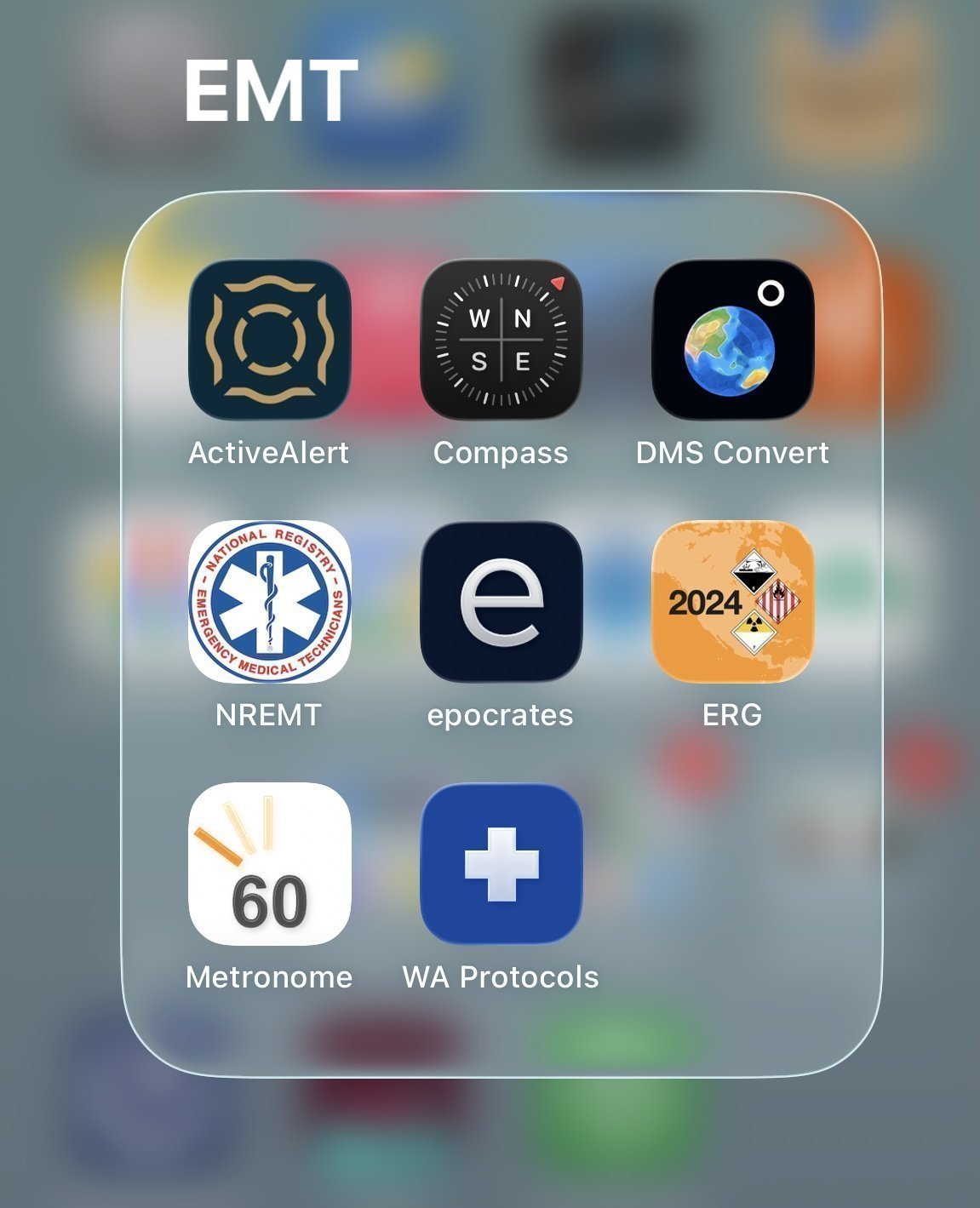
Here is an offline Washington State BLS protocol web app that you can run on any device with a browser. The content is ported from the Washington State 2024 BLS/ILS Protocol Guidance – EMR, EMT, AEMT Level pdf document.
Open https://johnspeare.github.io/wa-ems-protocols/ in your browser, then follow the steps for your device:
| Platform | Browser | Steps |
|---|---|---|
| iPhone / iPad | Safari | Tap the Share button (⬆ box with arrow) → scroll down → tap Add to Home Screen → tap Add |
| Android | Chrome | Tap the ⋮ menu (top right) → tap Add to Home screen → tap Add |
| Android | Firefox | Tap the ⋮ menu → tap Install |
| Mac / Windows | Chrome or Edge | Click the install icon (⊕) in the address bar → click Install |
| Mac / Windows | Firefox | No install prompt — bookmark the page; works offline as a regular tab |
Note: The app works fully offline after the first visit. On iPhone and Android it opens fullscreen with no browser chrome, like a native app. Any updates to the app will automatically refresh when you open it with an online connection.
In Ferry County, I cosplay as a useful human by volunteering for the Joint Fire Protection District 3&8. My main role is as an EMT.
As a volunteer, I make the call on when I’m on the clock and which calls that I go on. Our service area is sprawling and sparsely populated. I generally spend a few days a week in Ferry County. As a result, I don’t do enough EMT calls to keep sharp. During my training, an EMT instructor told us that to be a competent EMT, you need to work in a busy system for at least 6 months. That totally adds up.
So when I go on calls, I always have a low-grade anxiety about remembering specific details for each scenario. For example, medications: their indications, contraindications, and doses. Or various field assessments for strokes, level of consciousness, burn area, etc. All of these are laid out in protocols at the state level in a 130 page pdf document. Our department has a manual that derives from the state protocol that is about 190 pages.
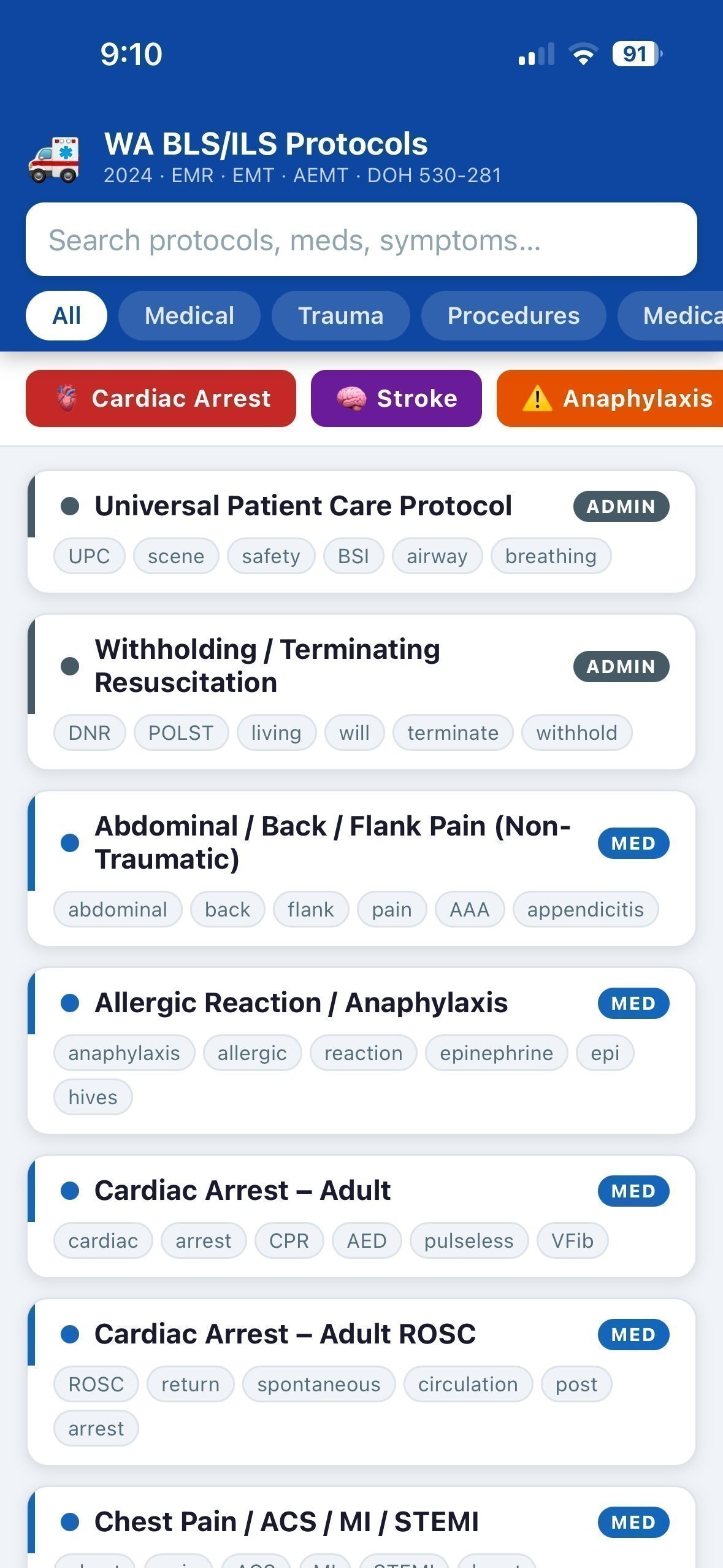 On the way to a call, if I’m not driving, I’ll either talk through the protocol with a partner EMT, or if the driver is not an EMT, then I’ll go through the department manual to refresh the details in my head.
I’ve always wanted this content on my phone. Putting it on my phone as a pdf would be worse than nothing. Since starting this volunteer gig over a year ago, I have wondered how to best port the protocols into an offline phone app. Bonus points if it’s searchable and easy to navigate.
In my day job as a technical writer at a giant software company, in the last 6 months or so, I’ve transitioned to working with AI all day every day. The project of porting the Washington State EMS protocols into a useful offline mobile app became super easy with AI.
I had the opportunity to take a 2 hour ambulance ride a couple days ago as a patient and the EMT who was taking care of me was excited about the app and installed it. Customer zero! Hopefully it’s useful for others.
May 27, 2026
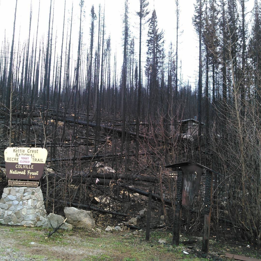
Last summer, the Katy Creek Fire, a 4600 acre fire just 9 miles south of FCCF HQ, sparked right on schedule. Following the Bulldog Fire in 2020, which followed the Stickpin Fire in 2015, the Katy Creek fire hit the 5-year stride in the summer of 2025.
There are lots of smaller fires in the general neighborhood, but these three were big and close by. Almost entirely on National Forest land, the fires burn in rugged, steep areas that, aside from a tangle of double track roads of varying quality and endless dead ends, are mostly undeveloped. As a result, the fires are fought, but in the heat of fire season, they are not prioritized with the limited resources that are deployed across the region. Instead, these fires are often left to burn outwards toward NF land and fought aggressively on the sides that threaten people/private property.
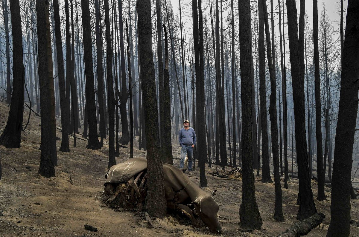
There’s lots to ponder about these fires. The idea of forest management is an interesting one. There’s really no such thing as “natural forest” – as in, “unmanaged.” If there are people, then the forest is managed. There’s evidence that native cultures did periodic burns around Shonitkwu (Kettle Falls) to encourage better foraging. And of course all of the forests have been logged multiple times in the last 150 years or so. Mining and other extraction have pushed the maze of dead end roads into every corner. Cattle ranchers will attempt to make the claim that grazing on public lands helps thin the forest to prevent wildfire, an argument that doesn’t withstand even the most casual analysis. (There is evidence that cattle/sheep grazing may help reduce wildfire intensity on public grasslands, but not in dense forests.) Unfortunately, there’s no conservation process that can return the forests to a prehistoric natural state of giant old growth. The genie is out of the bottle. So fires will happen. Ironically, given the menu of options for managing forests, perhaps the generational fire makes the most sense?
All of these fires were started by lightening strikes. Ferry County and the Okanogan Highlands stretching east of the Cascades see a handful of fast moving dry thunderstorms every summer. Fire chiefs and their volunteer departments spend many a harrowing summer evening glued to My Lightening Tracker watching the hundreds of strikes move across the state at a terrifying pace.
Poor snowpack and little rain fall pretty much guarantee a brutal fire season this year. The word is that moisture content in the trees as of April this year was at the same level that is expected by late summer. As a result of this drought stress, Ponderosa pines have been dropping most of their pinecones since early spring, looking to spread their seed before it’s too late.
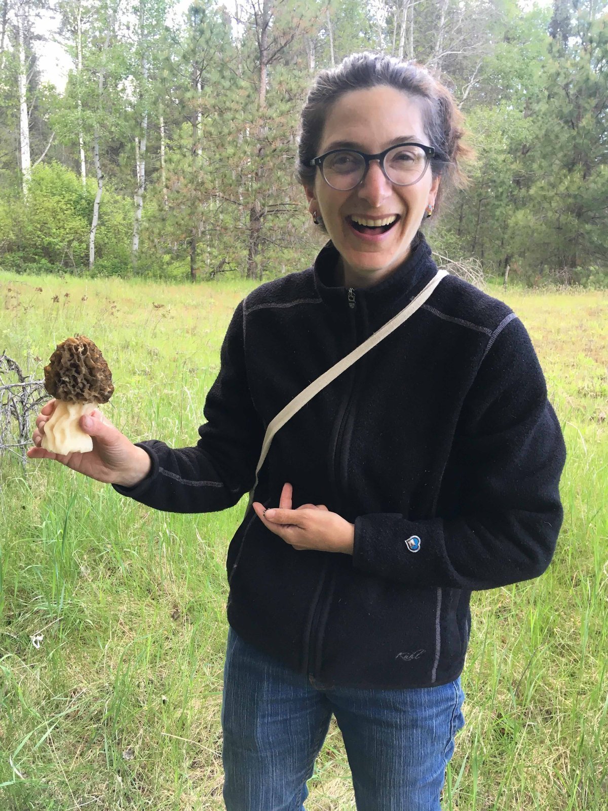
The silver lining to the 5 year fire in the neighborhood is the flush of morels that follow: 2016 and 2021 were amazing morel years. Truly an embarrassment of riches. This year was poised to be a banner year as well, thanks to the 2025 Katy Creek fire, but alas: that poor snowpack and low precipitation made for a merely good year, rather than a bumper crop. All the same, better “good” than “normal.”
May 22, 2026
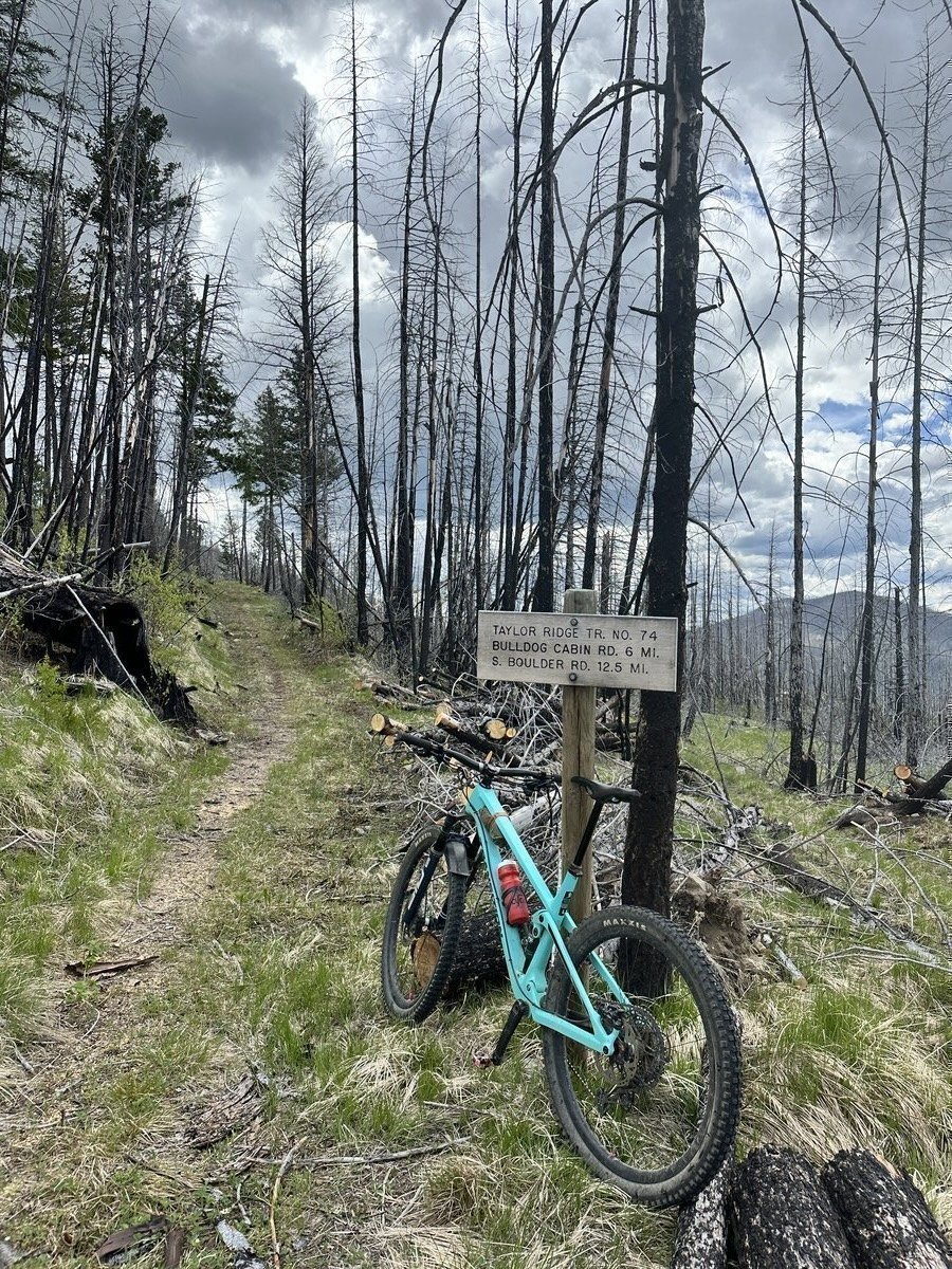
It appears that Upper Taylor Ridge has been logged out already. I only rode about a mile up from the KCT intersection, and it was clear. In my experience the contractors tend to knock out contiguous sections, so it’s probably cleared to Bulldog Road.
This is the earliest in the season that I’ve known of Upper Taylor being ridable. Makes sense, as we had a light snow year and mild spring. Clearly, Taylor was also put near the top of the list for the contractor as well. The universe is aligned to clear it early, so that must mean I need to ride it.
I looped North KCT and Taylor approach today – already a handful of trees have fallen since it was cleared. Standard.
In normal years, I clear Upper Taylor from the trailhead to the KCT intersection. That’s about 1.6 miles. I made it about 1.5 miles this year and when I came back to finish that last few hundred yards, it had been done.
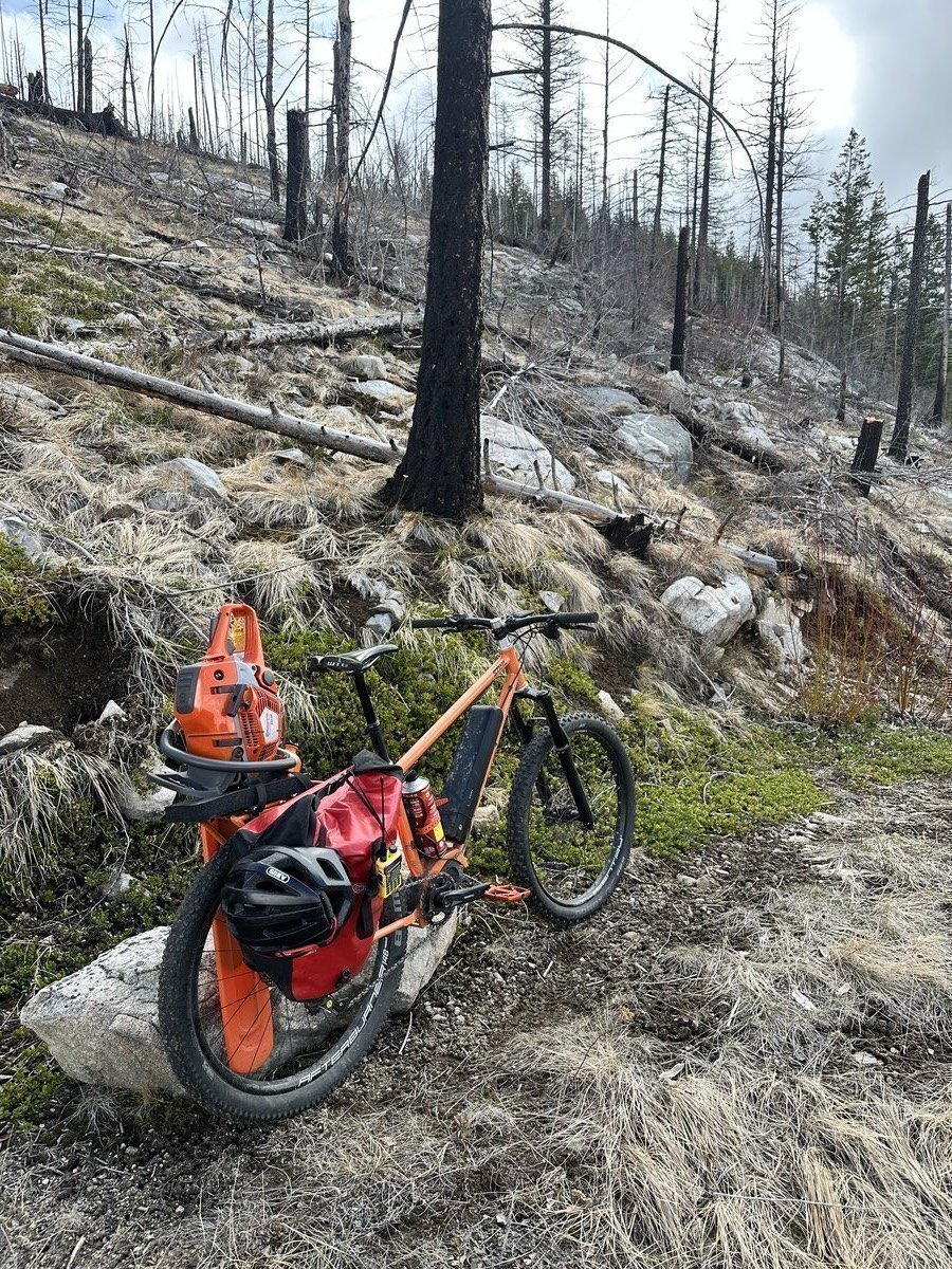
Glen built me a new trail maintenance e-bike and it’s perfect for logging KCT region. Pedal assist with saw mounted on the bike rather on my back makes for a lot more logging per outing vs analog and saw-backpack.
If you want in on the trail maintenance fun, join us at FCCF HQ next weekend: May 27-29. We’re hosting an Evergreen event here. More info here: Taylor Ridge Spring Clean up
May 12, 2026
Well let’s try this again…